
Bodrum Peninsula Geography: Bays, Hills and Climate Explained
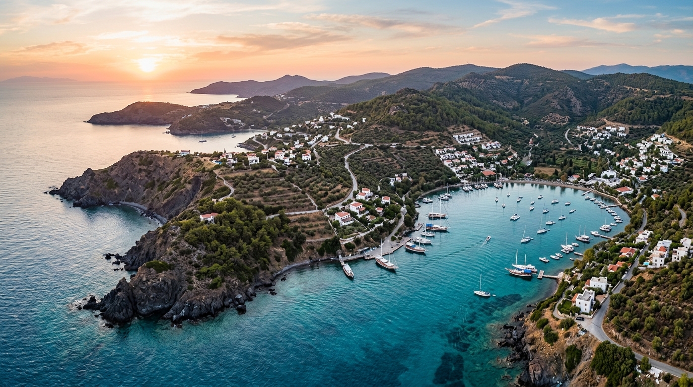
Bodrum's landscape didn't happen by accident. The peninsula's jagged bays, dry hills and warm sea all trace back to geology and climate patterns that still shape daily life here. Here's how the pieces fit together.
Where the Peninsula Sits
Bodrum Peninsula pushes out from Turkey's southwestern corner into the Aegean, wedged between two gulfs: Gökova to the south and Güllük to the north. This finger of land, roughly 30 kilometers long, is the westernmost tip of the ancient region of Caria.
Because it's flanked by two different bodies of water, the north and south coasts behave quite differently. The Gökova side tends to be calmer and greener, while the Güllük-facing north coast catches more wind and open sea swell. That single fact explains a lot about why villages just a few kilometers apart can feel so different.
A Coastline Carved by Drowned Valleys
The peninsula's coastline is famously indented, with dozens of coves rather than one long beach. This is what geographers call a ria coastline: ancient river valleys that were flooded when sea levels rose after the last ice age. What used to be a valley floor is now a bay, and what used to be a ridge is now a headland separating two coves.
That's why so many of Bodrum's bays sit at the mouth of a small valley, often with a stream bed (usually dry in summer) running down to the sea. It also explains why the water in these bays is generally shallow and calm near shore before dropping off — you're standing in a flooded river mouth, not open ocean.
| Bay / Area | Coast | Character |
|---|---|---|
| Gümbet | South-facing, near town | Sheltered cove, busy nightlife strip |
| Bitez | South | Wide bay, tangerine groves inland, windsurf-friendly afternoons |
| Ortakent | South | Long sandy stretch, quieter and family-oriented |
| Turgutreis | West | Open to the sea, strong sunsets, market town |
| Gümüşlük | West | Shallow, protected cove over the sunken ruins of ancient Myndos |
| Yalıkavak | North | Deep natural harbor, marina development |
| Türkbükü / Göltürkbükü | North | Narrow inlet, steep hillsides behind it |
| Gölköy | North | Curved bay, olive-covered slopes |
| Torba | North, closer to town | Gentle bay, resort hotels along the shore |
Hills, Rock and the Villages Tucked Between Them
Between the bays, the peninsula's spine rises in a chain of hills built mostly of granite and schist, with pockets of marble further inland toward Milas and Mumcular. Elevations aren't dramatic by mountain standards — the highest ridgelines reach somewhere in the 500 to 600 meter range — but the terrain is steep and broken enough that roads wind constantly rather than running straight.
This granite base is also why traditional Bodrum houses look the way they do. Local stone was quarried and whitewashed, giving villages like Gümüşlük and the old quarters of Bodrum town their pale, cubic architecture, which also happens to reflect summer heat.
Bodrum town itself sits on a narrow isthmus, with the ancient acropolis and Bodrum Castle occupying a small rocky peninsula that splits the town into two harbors — one of the clearest examples on the whole coastline of how geography shaped a settlement.
Climate Through the Seasons
The peninsula has a classic Mediterranean climate: long, dry, hot summers and mild, wetter winters. Nearly all of the annual rainfall falls between October and March, while July and August can go weeks without a drop.
| Season | Typical Pattern |
|---|---|
| June–September | Hot, dry days; sea warm enough for comfortable swimming; little to no rain |
| October–November | Still warm, sea at its warmest, first rains begin later in the period |
| December–February | Mild by northern European standards, but genuinely rainy and occasionally windy; many coastal businesses scale down |
| March–May | Rain tapers off, hillsides green up briefly, spring wildflowers on the maquis |
Wind, Sea and Microclimates
Summer afternoons on the peninsula are shaped by the meltemi, a dry northerly wind that builds through the day and typically eases by evening. It's strongest on north-facing bays like Gümbet, Bitez and Yalıkavak, which is exactly why these spots are popular for windsurfing and kitesurfing.
South-facing bays toward the Gökova side are more sheltered from this wind, which is why boats often tuck into coves along that shore for calmer overnight anchorages. If you're planning a Need a pharmacy after regular hours in Bodrum? Here is the complete list of on-duty (nöbetçi) pharmacies for Tuesday, September 22, 2026, covering every corner of the peninsula from the town center to Yalıkavak and Turgutreis. Looking for an open pharmacy in Bodrum tonight? Here is the complete, up-to-date list of on-duty pharmacies across the peninsula for Monday, September 21, 2026, straight from the Muğla Chamber of Pharmacists. Looking for a pharmacy open after hours in Bodrum tonight? Here is the complete list of on-duty pharmacies across the peninsula for Sunday, September 20, 2026, straight from the Muğla Chamber of Pharmacists.İlgili Yazılar
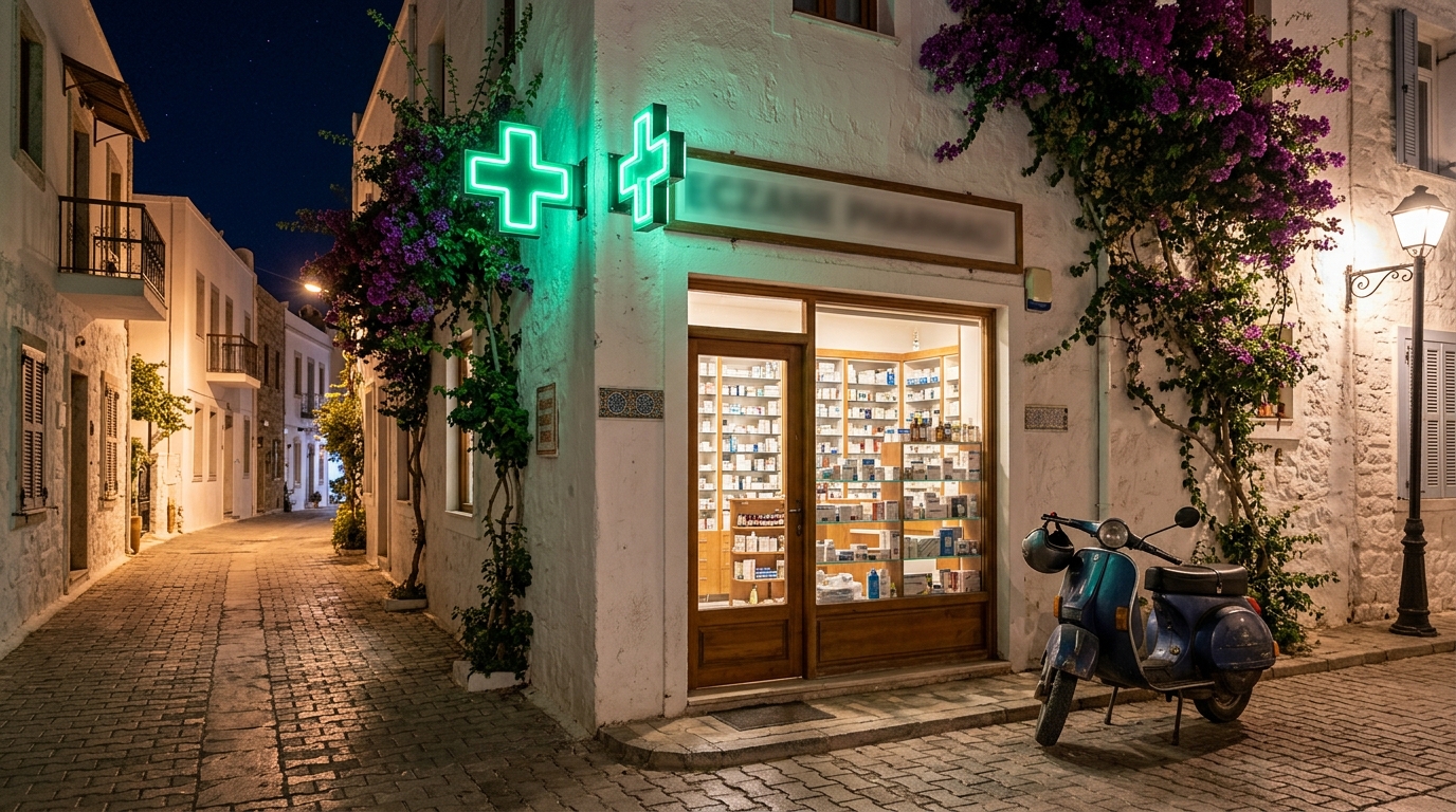
Pharmacies on Duty in Bodrum Today – September 22, 2026
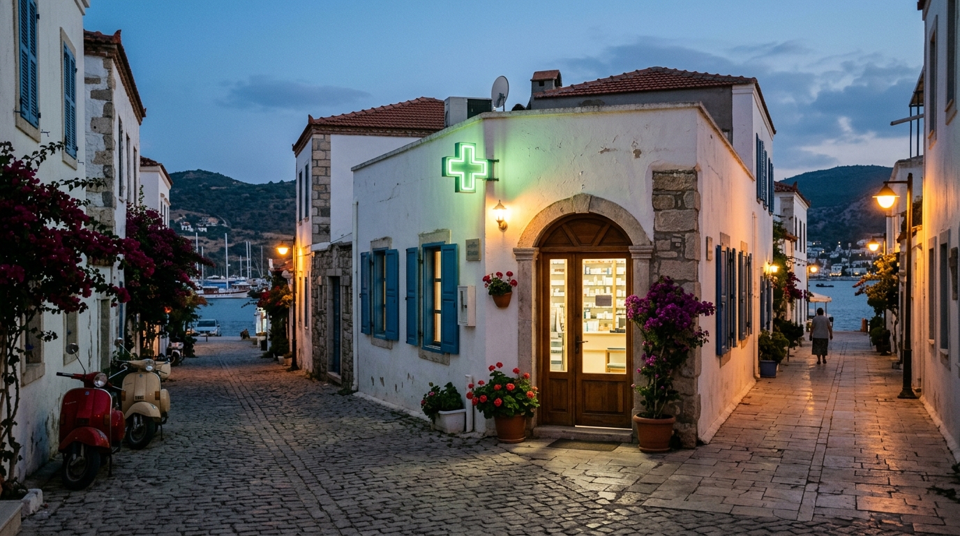
Pharmacies on Duty in Bodrum Today – September 21, 2026
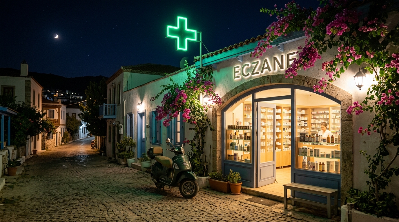
Pharmacies on Duty in Bodrum – September 20, 2026