
The Lelegian Way: Bodrum's Ancient Hiking Trails Explained
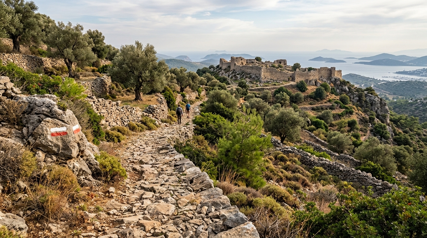
Above Bodrum's beaches and marinas, a quieter Bodrum survives in the hills: dry-stone walls, beehive tombs and ruined citadels left by the ancient Leleg people. The Lelegian Way stitches these sites together into a waymarked hiking route through pine forest and olive terraces.
What Is the Lelegian Way?
The Lelegian Way (locally called the Leleg Yolu) is a network of waymarked footpaths running through the hilly interior of the Bodrum Peninsula, well away from the coastal resorts. It was laid out by the Culture Routes Society, the same organization behind Turkey's Lycian Way and Carian Trail, working with local municipalities and villagers who still use many of these paths to move between orchards, olive groves and hillside hamlets.
Unlike the coastal walks that hug beaches and cliffs, the Lelegian Way climbs into the granite hills behind Bodrum town, Gümüşlük and Turgutreis, connecting a scatter of ancient ruins left by the Leleges, a pre-Greek people who controlled this part of Anatolia long before Halikarnassos rose to prominence.
Who Were the Leleges?
The Leleges are one of the more elusive peoples of ancient Anatolia. Greek writers, including Homer, mention them as allies of Troy and as an older population layer that predates the Carian and Greek settlement of the peninsula.
What survives of them on the ground are hilltop settlements enclosed by dry-stone walls, corbelled beehive tombs cut into rock or built from unmortared stone, and terraced field systems that local farmers still maintain today. These sites sit on defensible ridges with wide views over the Gulf of Gökova or the Aegean, chosen for security rather than convenience.
Route and Stages
The full network covers roughly 60 to 70 kilometers, broken into shorter day-stages that link villages such as Konacık, Gürice, Dağbelen, Pınarlıbelen, Gökçeler and Etrim. Waymarking follows the same white-and-red paint blazes used elsewhere on Turkey's long-distance trails, though sections can be faint after winter rains, so a downloaded GPS track is worth carrying.
| Stage | Approx. Distance | Character |
|---|---|---|
| Konacık to Pedasa ruins | 4-6 km | Steady climb through pine and maquis to a Leleg hilltop settlement |
| Gürice to Dağbelen | 8-10 km | Rolling farmland, olive terraces, small mosques and fountains |
| Dağbelen to Pınarlıbelen | 10-12 km | Higher ground, pine forest, occasional shepherd tracks |
| Pınarlıbelen to Gökçeler | 6-8 km | Descends toward a valley known for its seasonal waterfall |
| Etrim loop (Theangela) | 3-5 km | Short walk to the ruined city walls and theater cavea of Theangela |
These figures are approximate; actual walking time depends heavily on the season, since summer heat on exposed ridges slows most hikers considerably.
Highlights Along the Way
Pedasa
Above Konacık and Gökçebel, the ruins of Pedasa sit on a ridge with long views toward Bodrum's bay. Massive dry-stone fortification walls are still traceable on the ground, along with rock-cut chamber tombs, making it one of the more accessible Leleg sites for hikers with limited time.
Theangela
Near the village of Etrim, Theangela was later refounded under Carian and Hellenistic rule, so its remains mix Leleg-era wall sections with later masonry, a cavea from a small theater, and scattered column drums. It rewards a short detour off the main trail.
Villages and Working Landscape
Much of the pleasure of the Lelegian Way is what surrounds the ruins: stone-built village houses, mandarin and olive groves, roadside fountains still fed by old cisterns, and the occasional tea garden in Dağbelen or Gökçeler where locals are used to seeing walkers pass through.
When to Hike and What to Bring
Spring, from March through May, is the most comfortable window, with wildflowers, running streams and mild temperatures. Autumn, particularly October and early November, is a close second, once summer heat has broken.
Midsummer hiking is possible only if you start at dawn and finish by mid-morning, since the interior hills hold heat and shade is limited on the open ridges. Whatever the season, carry more water than you think you need, wear boots with a solid sole for loose stone sections, and bring a paper map or offline GPS track since mobile signal disappears in several valleys.
Getting to the Trailheads
Most stages start from villages reachable by dolmuş minibus from Bodrum town or Turgutreis, though schedules thin out in the afternoon, so many hikers prefer to arrange a taxi or private driver for the return leg. If you're planning several stages over a few days, it's worth booking Airport Transfers in advance so you're not scrambling for transport after a long day in the hills.
Several local operators now run guided walks along sections of the Lelegian Way as part of broader Bodrum Tours & Activities, which is a practical option if you'd rather not navigate the waymarking alone. After a day on the trail, a stay near the coast lets you combine hiking with beach time; browse Bodrum Hotels in Konacık, Turgutreis or Bodrum town, all within a short drive of the main trailheads.
Frequently Asked Questions
How difficult is the Lelegian Way?
Most stages are moderate rather than technical, following farm tracks and old shepherd paths with some steady climbs. Good footwear and stamina for several hours of walking in heat are more important than any specialized skill.
Do I need a guide?
Experienced hikers with a GPS track can manage independently, but waymarking fades in places, so first-time visitors or those short on time often prefer a local guide or organized walk.
Can I hike just one section in a day?
Yes, the network is designed in short, linkable stages, so a single half-day walk from a village like Konacık or Etrim is entirely feasible without committing to the whole route.
Is the trail marked the same way as the Carian Trail?
The Lelegian Way uses the same white-and-red waymarking system developed by the Culture Routes Society for Turkey's long-distance trails, though it's a shorter, more localized network focused on the Bodrum Peninsula's interior.
What should I pack for a day hike?
At minimum bring at least two liters of water, sun protection, sturdy shoes, a hat, and a charged phone with an offline map or downloaded GPS track, since coverage is patchy in the valleys.
İlgili Yazılar
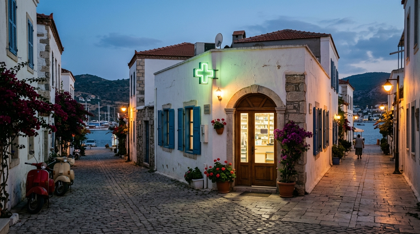
Pharmacies on Duty in Bodrum Today – September 21, 2026
Looking for an open pharmacy in Bodrum tonight? Here is the complete, up-to-date list of on-duty pharmacies across the peninsula for Monday, September 21, 2026, straight from the Muğla Chamber of Pharmacists.
Read More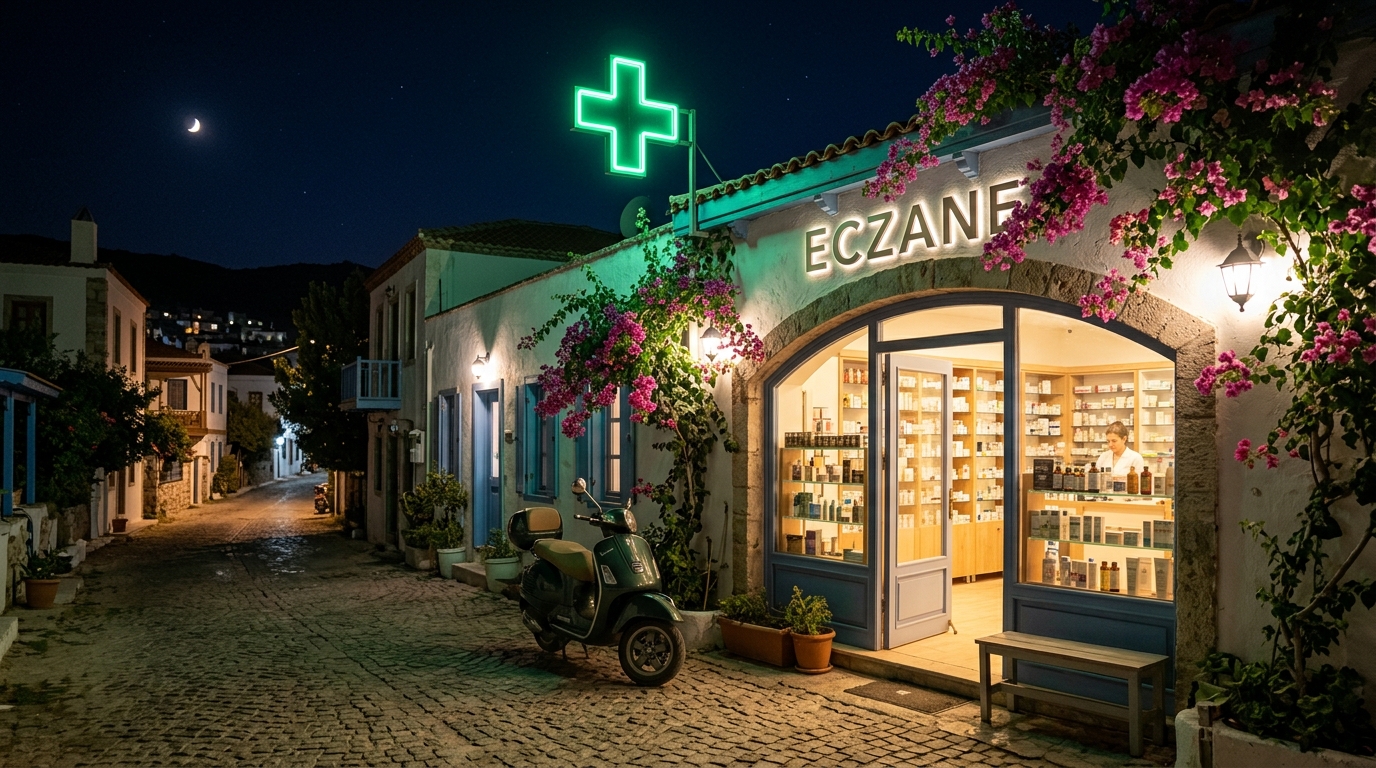
Pharmacies on Duty in Bodrum – September 20, 2026
Looking for a pharmacy open after hours in Bodrum tonight? Here is the complete list of on-duty pharmacies across the peninsula for Sunday, September 20, 2026, straight from the Muğla Chamber of Pharmacists.
Read More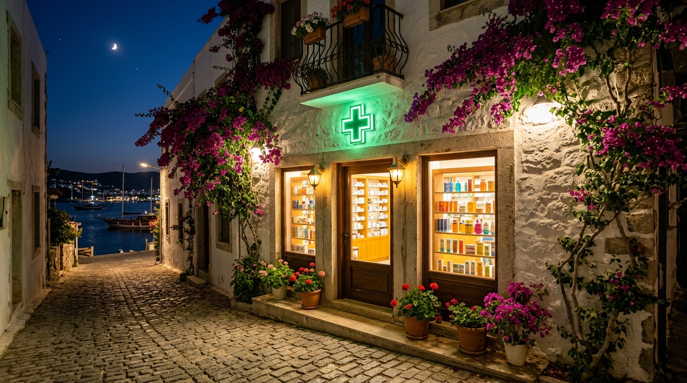
Bodrum Pharmacies on Duty Today – September 19, 2026
Need a pharmacy after hours in Bodrum tonight? Here is the complete, area-by-area list of on-duty (nöbetçi) pharmacies across the Bodrum peninsula for September 19, 2026, straight from the Muğla Chamber of Pharmacists.
Read More